Why does the route announcement matter so much?
Unlike a stadium event, Il Lombardia unfurls across a region. Its identity is tied to Lombardy, but the exact line is not permanently pinned to one road. Como and Bergamo have both played major roles in the race, while climbs near Lake Como have supplied some of its most recognisable terrain. A hotel chosen for an assumed finish can become an awkward base if the direction changes.
Use the official race route, timetable and technical documents when published. The route map shows the broad shape; the detailed timetable gives estimated passage windows and road information. Municipal and local police notices then explain closures affecting a particular town.
Should you watch a climb, start or finish?
A start offers ceremony, team vehicles and a broad view of the field before it stretches into a line. It is convenient for rail-based visitors, but the competitive action is usually restrained. A finish concentrates drama and infrastructure in one place. Barriers, restricted access and large crowds are the price of that certainty.
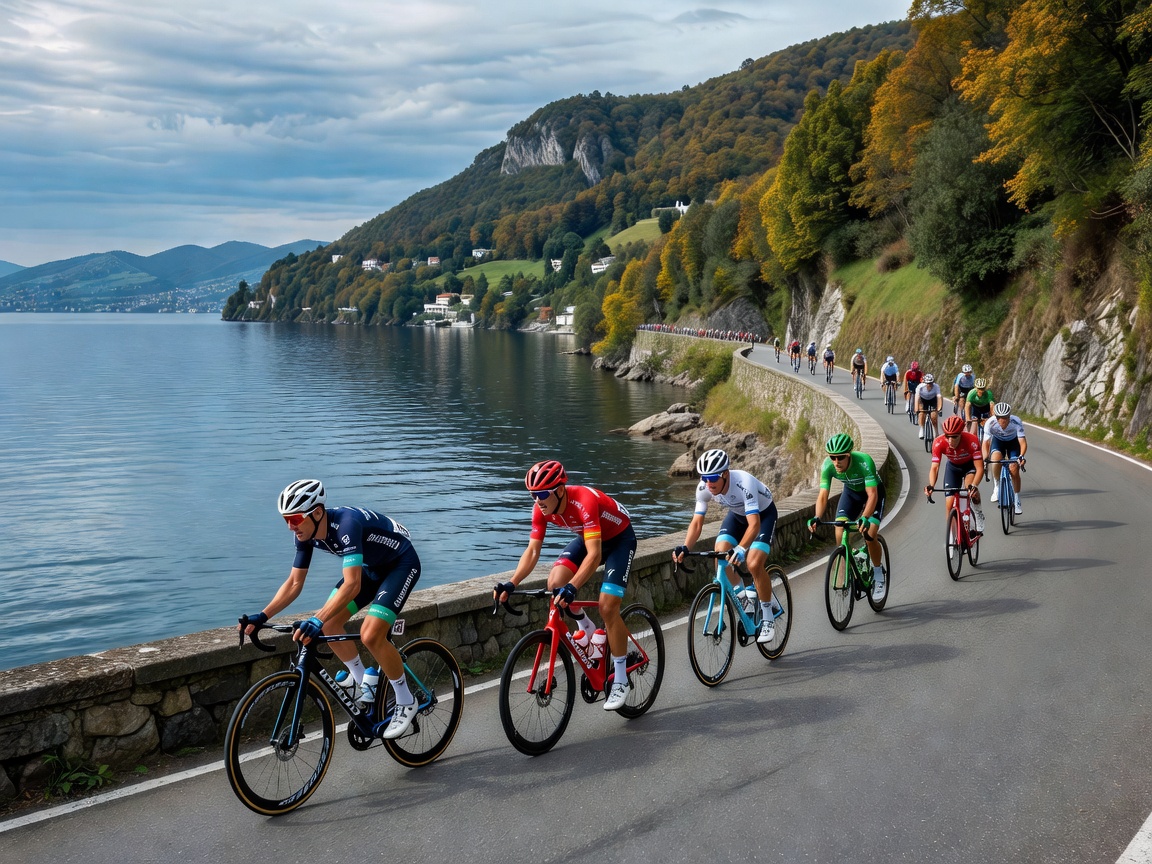
A climb gives the race texture. Riders slow enough for colours and expressions to register, and the peloton may fracture on steeper gradients. Yet a mountain or lakeside road can be difficult to reach once closures begin. You may wait for hours for a passage measured in moments. That imbalance is not a flaw; it is the peculiar theatre of roadside cycling.
How do you select a safe roadside position?
Look for a wide verge, established spectator area or town section where standing does not narrow the racing line. Avoid the outside of fast bends, descent run-outs, traffic islands and places where riders might need the full road. Remain behind barriers where supplied and follow marshals.
Never step into the road for a photograph. Do not run beside riders, touch them or hold objects over the course. Dogs should not be brought into a dense roadside setting where a lead could cross the road. The race convoy includes motorcycles and cars before and after the riders; an apparently empty road is not an invitation to move into it.
What transport works in Lombardy?
Rail is useful for established centres including Milan, Como and Bergamo, but a decisive climb may require a local bus, bicycle or substantial walk. Check Trenord and other relevant operators for planned services, then compare them with closure notices. Buses using the race route may be diverted or suspended.
Driving supplies flexibility before closures and very little afterwards. Parking on narrow roads can block residents, emergency access or the convoy. If a car is necessary, select a lawful parking area outside the closure zone and expect to leave on foot. A bicycle can reach more roads, but it must still obey closures and marshal instructions.
What belongs in a roadside bag?
- Layers and waterproofing: conditions can change across elevations and through a long wait.
- Food and water: rural viewing points may have no open shop once roads close.
- Power and downloaded maps: crowded mobile networks and valleys can weaken connectivity.
- Visible, compact luggage: keep possessions clear of the road and take all waste away.
Comfort matters because immobility chills quickly. Sensible shoes are more useful than elaborate race-day clothing, especially where the final approach follows wet stone, grass or a steep pavement.
How can you follow the race from one spot?
The organiser’s official channels and licensed broadcasters provide race information, subject to local availability. Audio commentary uses less data than continuous video and preserves battery. A small radio may work where coverage exists, but do not rely on one connection for transport home.
Listen for the convoy and respect instructions as the race approaches. First comes anticipation, then a river of vehicles, colour and chain noise, then the road seems suddenly enormous again. Wait until officials reopen it. The cleanest ending is to leave the landscape as you found it, carrying only the memory of speed through the hills.